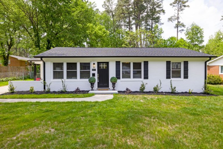
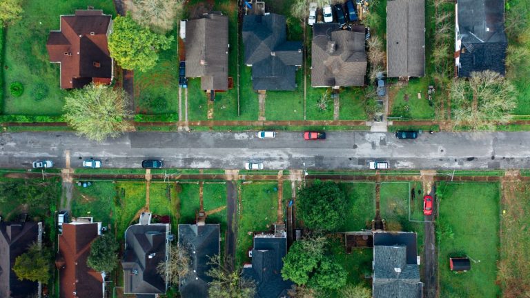
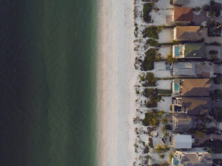
Florida real estate drone photography & video.
Give buyers a clearer view of the home, lot, waterfront and surrounding neighborhood. Request aerial listing photos or property video, compare approved portfolio work, and let the hub review operators by service, county and ZIP coverage.
Compare property video work and define what your listing needs before sharing the exact address.
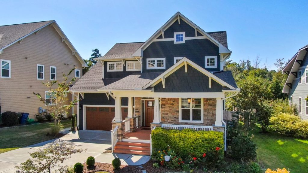
A fresh perspective on a place to call home.
Draw attention to the architecture, the setting and the space around it. Thoughtful property photography helps buyers see how a home fits into the bigger picture.
Explore photography styles ↗Request your real estate video project.
Tell us what you need, then securely submit your contact and property details to the hub.
Compare the work before choosing a pilot.
Look for a portfolio that shows the property clearly, a video style that fits your listing, and a proposal that defines the final files.
Property context
Look for aerial footage that shows the home in relation to the lot, access, water, and nearby setting.
Video style
Compare framing, pacing, lighting, and editing in real estate samples similar to your listing.
Clear deliverables
Confirm the video length, format, usage rights, revision terms, and delivery timing in the quote.
Join a network focused on real estate drone work.
Build your property portfolio and tell the hub where you fly. Learn how our drone pilot network works, then complete private onboarding. Applications are reviewed; joining does not guarantee assignments.
Lead with relevant samples
Choose examples that show exterior movement, property context, and editing quality.
Define the finished work
State the proposed shots, final files, timing, usage rights, and revision terms clearly.
From brief to delivered files.
Submit your project
Enter the service, property location and scope, then provide your private contact details. The hub saves your request with a project reference.
Review coverage
The hub checks operators by service, county and ZIP coverage, then reviews availability and the proposed scope with you.
Confirm the project
Confirm the scope, schedule, and operational requirements before work begins. The hub reviews availability and confirms the booking separately.
Review the files
Review the final video and files against the agreed deliverables and revision terms.
Real estate drone photography questions.
How much does a drone shoot cost?
The quote depends on the property, location, flight planning, number of images, video editing and delivery needs. The request form collects your budget preference; its ranges are not fixed package prices. The hub confirms scope and price separately before booking.
Can I request photos, video, or both?
Yes. Choose the main service and describe any additional aerial photos or video clips in your project goals. Include intended listing platforms, horizontal or vertical formats, and your preferred date so the hub can review the full scope.
Can you arrange a shoot in Pinellas County?
Submit the property city, county and ZIP code for a coverage review. For requests in Clearwater, St. Petersburg, Largo, Dunedin or Palm Harbor, select Pinellas County. Tampa requests use Hillsborough County. Availability depends on an approved operator, scheduling and suitable flight conditions.
What happens after I submit?
Your contact details and exact property address are saved in a private job record. The hub reviews coverage and assigns an operator. Signed-in customers can follow the status in the customer portal. Submission does not confirm a booking or collect payment.
Have a different Florida location? Submit the actual county and ZIP rather than assuming coverage. The hub checks each request before confirming availability.
See the property. Picture the possibilities.
Showcase curb appeal, reveal the surrounding neighborhood, and bring waterfront living into focus. Discover a visual style that tells your property’s story.